Map Settings
This guide explains how to configure the initial map settings within SnowObs. The map serves as the foundational geographical layer for SnowObs, providing the essential visual context for all avalanche-related data, such as observation points, forecast zones, avalanche paths, and weather station locations. This map is fundamental to many features of SnowObs.
Map Setting Page
Navigate to Settings > Map.
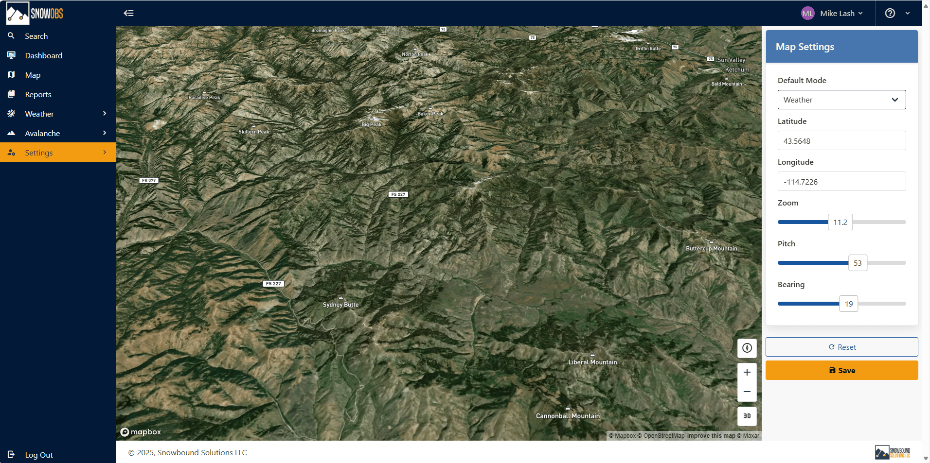
Setting the Map Mode
Select the desired mode from the Default Mode dropdown menu. Map modes change the layers that are visible, grouping together similar features along with different ways to interact with the data. The available modes are:
- Avalanche: Atlas, observations, etc.
- Weather: Weather stations
- Infrasound: Array locations, avalanche monitoring, etc
Setting the Map Location and Position
The map center location is set by specifying Latitude and Longitude. The map orientation is configured by specifying the Zoom, Pitch and Bearing. These can be configured using two different options.
Option #1: Set location and position using the map controls
Check out the video below.
Option #2: Set location and position manually
To set these values manually, click inside the Latitude and Longitude boxes and enter the desired values for location. For position, adjust the Zoom, Pitch, and Bearing using their respective scroll bars.
Once you've configured the map's default mode, position, and location, click Save to apply your settings.